Phase I Archaeological Survey for KYTC Bridge – Fulton County, KY

On August 29 and 30, 2022, consulting archaeologist Vincent Versluis of Waypoint, LLC conducted a Phase I archaeological survey of approximately four acres for a proposed KYTC Bridge in Fulton County, Kentucky. Vincent Versluis served as principal investigator and field director. The survey, which consisted of pedestrian survey and shovel testing, was performed to identify archaeological resources in the project area, and if found, to determine whether the material might be eligible for listing in the National Register of Historic Places.

Acoustic Monitoring and Phase 1 Habitat Assessment – Harlan County, Kentucky

Investigators conducting this survey included Mr. Jason B. Robinson performing acoustic analysis and Tom Wilson and Jacob Riddle as acoustic technicians. Michael Boller, Tom Wilson, and Jacob Riddle performed the habitat assessments.

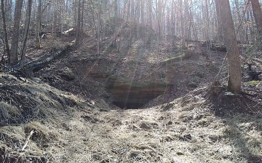
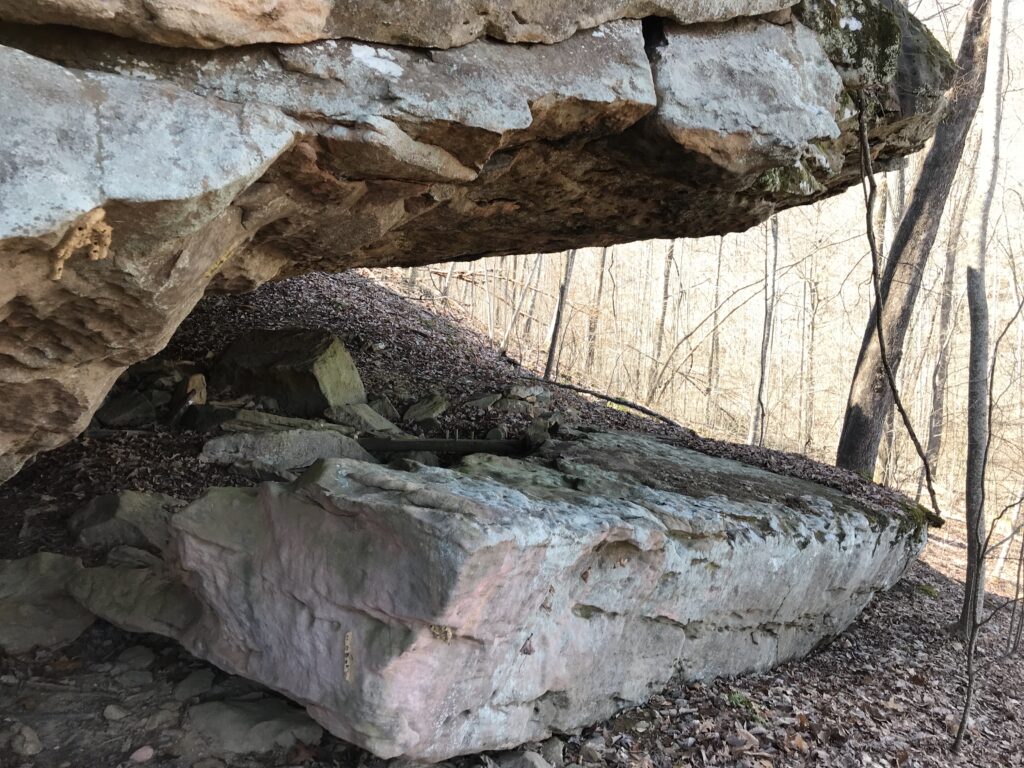
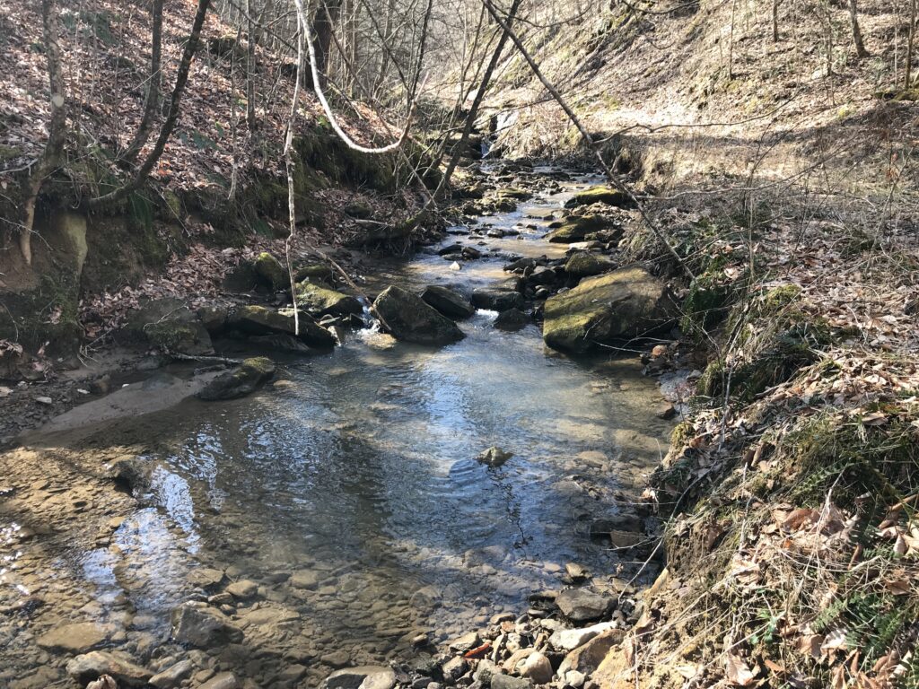
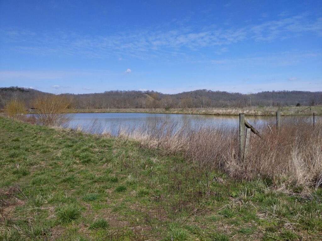
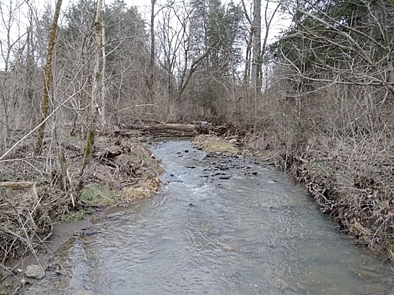
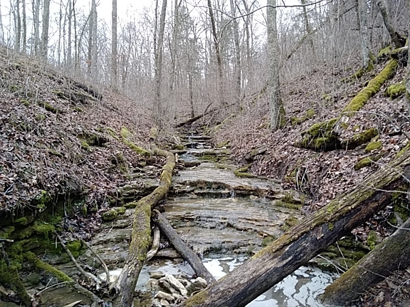
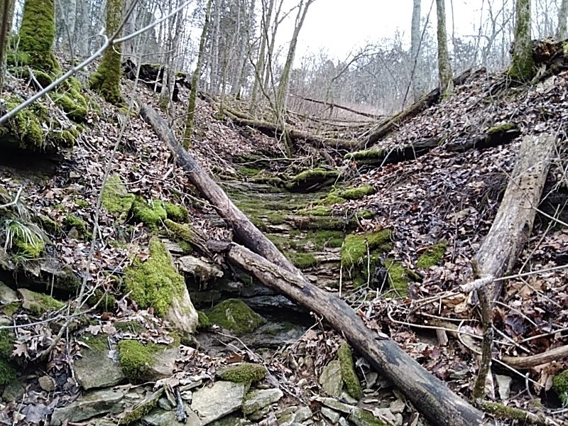
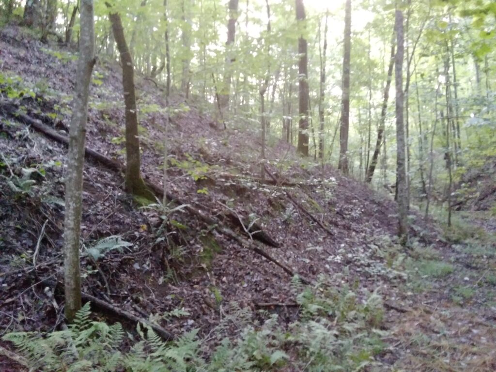
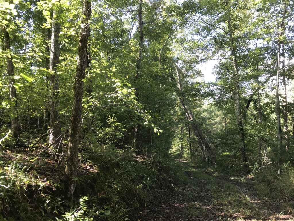
The habitat assessment was conducted to document potential bat habitat within the project corridor and determine if suitable habitat is present for the identified federally listed species. The assessment included an in-house review of available resources, including USGS topographic and geologic quadrangle maps, karst potential maps, land use maps, digital elevation maps, aerial photographs, and project design plans. Field surveys were also conducted to delineate the extent of each habitat and assess its potential for use by the identified species.

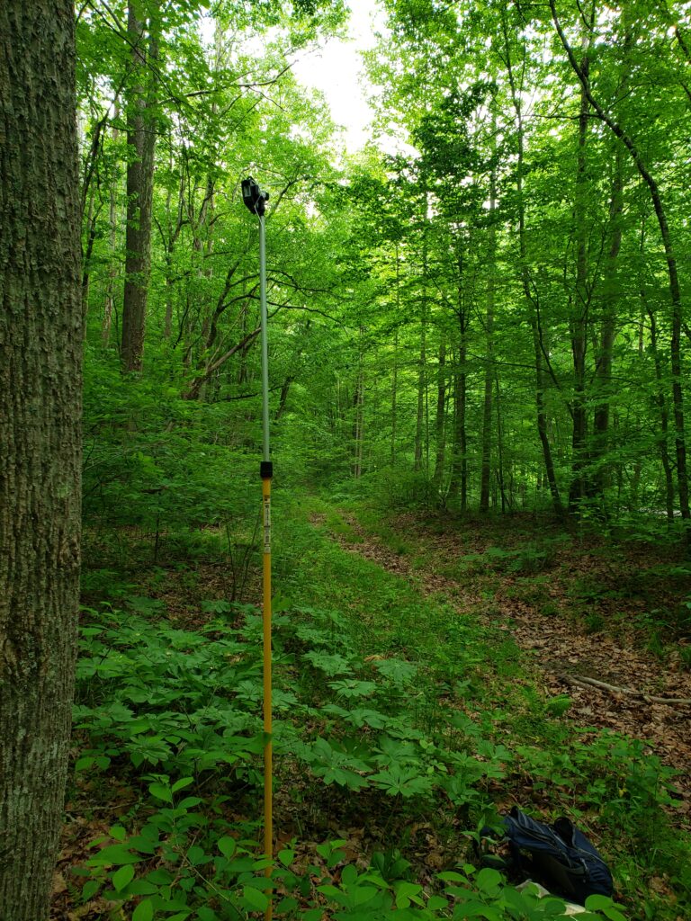
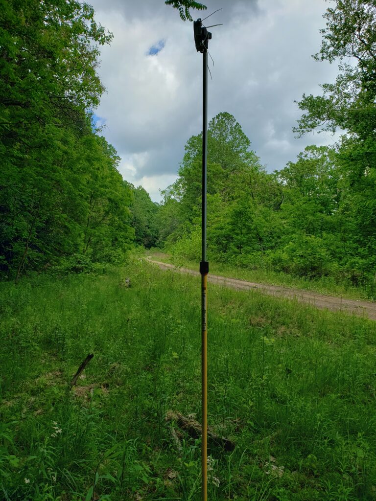
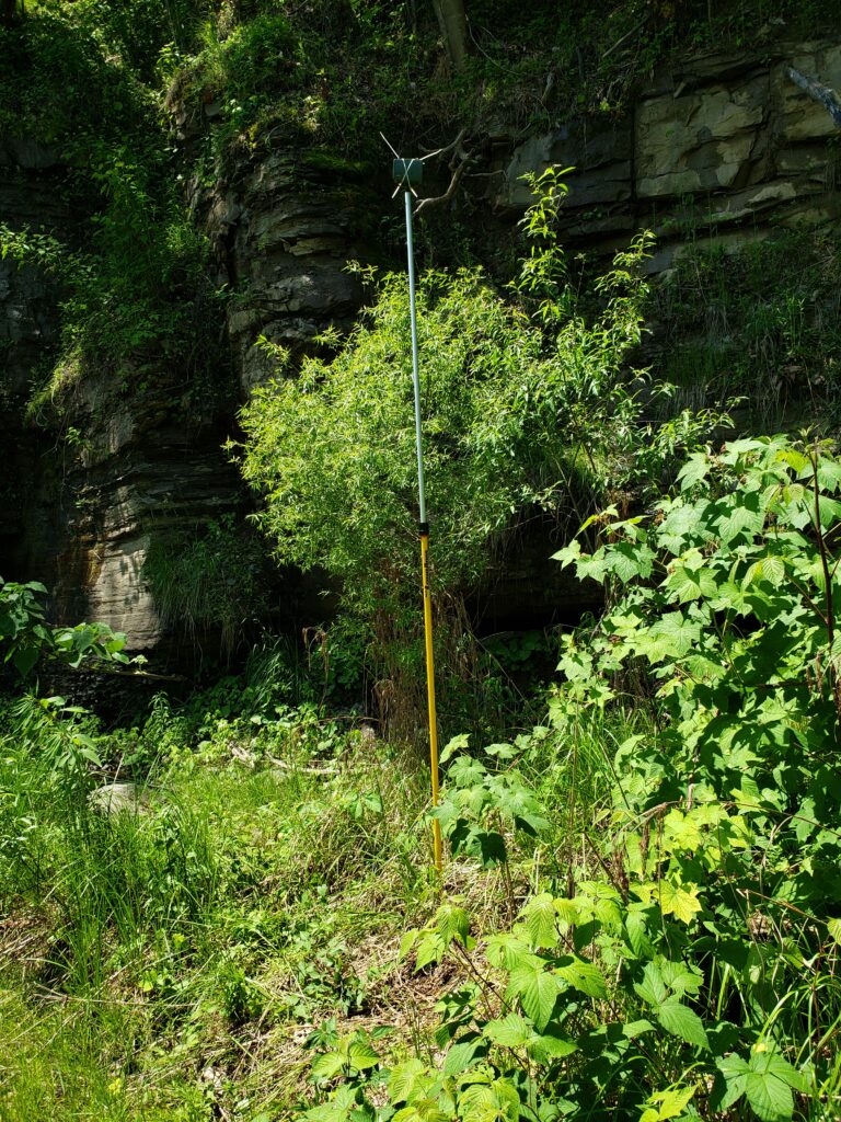
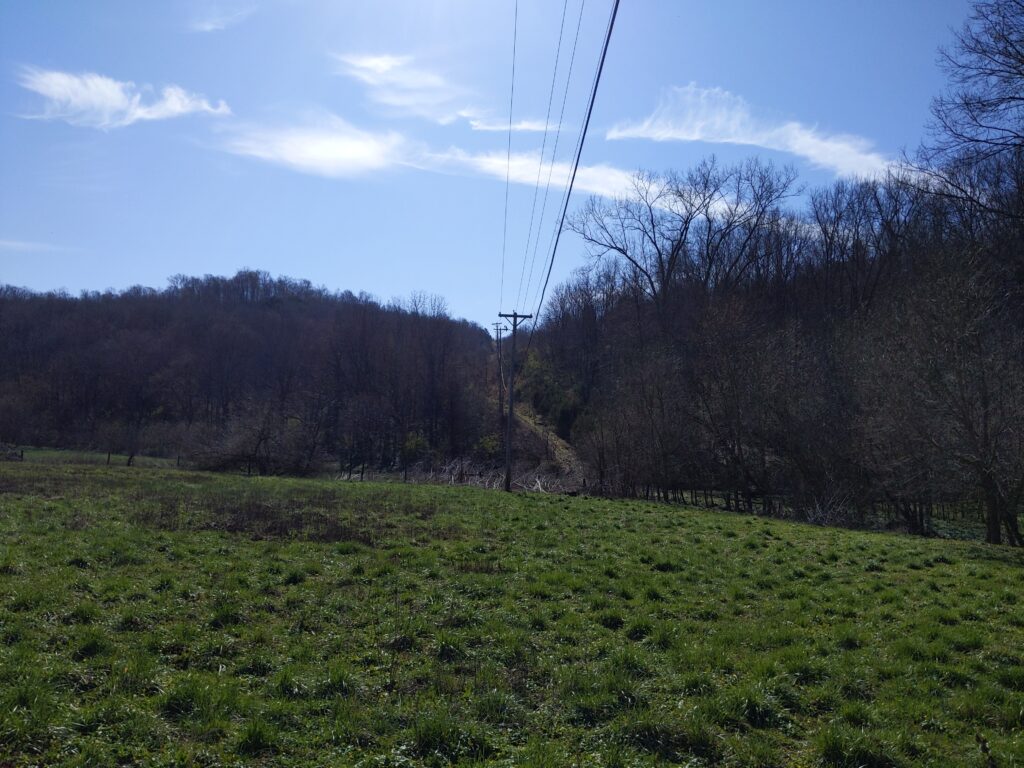
For the acoustic survey, acoustic detectors were deployed for the necessary number of nights at each of the proposed locations. Detectors were placed in habitats where bats were likely to be foraging/traveling and in areas that increase the likelihood of recording high-quality calls (e.g., forest canopy openings, road or stream corridors with open canopies, ponds, or wetlands).

Biological Assessment – Franklin County, Kentucky

The project will involve stream and/or riparian enhancement of impaired stream reaches to a natural and stable condition. After project construction, the mitigation sites will be restored by planting a mix of native vegetation, including tree and shrub seedlings, and will be protected by a permanent conservation easement.

Waypoint submitted an IPAC to FWS to collect information on the species to be addressed for the project. Eight threatened and endangered species were identified that are addressed by the Biological Assessment (BA).

Prior to field assessments, a review of US Geological Survey (USGS) topographic quadrangle maps, land use maps, previously conducted surveys, geologic quadrangle maps, and aerial photographs was conducted.

Phase I Archaeological Survey – Muhlenburg County, Kentucky

Muhlenburn County, Kentucky

On January 23, 2023, consulting archaeologist Vincent Versluis of Waypoint, LLC conducted a Phase I archaeological survey of approximately 4.2 acres for the proposed KYTC Bridge project along KY 189 over Jarrels Creek in Muhlenberg County, Kentucky. The proposed project will replace the existing bridge on KY 189 over a perennial stream.

Jurisdictional Determination Report

Clay County, Kentucky

In March of 2022, Waypoint, LLC completed a jurisdictional determination for an 80.8-acre survey area. The proposed JD was conducted by Waypoint personnel to identify any aquatic resources that may be regulated by the U.S. Army Corps of Engineers (USACE) as waters of the U.S. (WOUS). Waypoint investigators also evaluated the potential for federal jurisdiction under Section 404 of the Clean Water Act (CWA) over aquatic features in the study area based on other USACE guidance.

Phase I Environmental Survey – Carroll and Owen Counties, Kentucky

Carroll and Owen Counties, Kentucky

Tom Wilson and Kyleigh Bryant with Waypoint, LLC, has completed a Phase I Environmental Site Assessment (ESA) Process for Forestland or Rural Property on approximately 313 acres of a property located near Sanders, KY in Carroll, and Owen Counties. The proposed plan for this property is to develop a stream and/or wetland mitigation site.

Kentucky Mitigation Bank – Franklin County, Kentucky

Steeles Branch Mitigation Bank

Franklin County, Kentucky

The primary objective of this stream mitigation project is to enhance and then preserve streams that are considered “waters of the U.S.” within the watershed to provide compensatory mitigation credits in advance of authorized impacts in the Commonwealth of Kentucky within the jurisdiction of the Louisville Corps District.

Phase I Archaeological Survey – Roane County, Tennessee

Roane County, Tennessee

Prepared by Vincent Versluis and Jesse Robinson

From September 21-23, 2021, archaeologist Jesse Robinson of Waypoint, LLC conducted a Phase I archaeological survey of approximately 153 acres (0.24 square miles) for proposed stream restoration project near the city of Rockwood, Roane County, Tennessee.

Vincent Versluis served as Principal Investigator; Jesse Robinson served as Field Director.

Qualified Hydrologic Professional (QHP)

Congratulations to Michael Boller as he works to become Waypoint, LLC’s newest Qualified Hydrologic Professional (QHP).    Michael as met the requirements of Tennessee Code Annotated, Section 69-3-105 through successful completion of the Tennessee Hydrologic Determination (TN-HDT) Course.  Below is an excerpt of the requirements necessary to obtain certification in the TN-HDT course. 

Establishing standard procedures for making stream and wet weather conveyance determinations that take into consideration biology, geology, geomorphology, precipitation, hydrology and other scientifically based principles.

TN Department of Environmental Conservation
Michael Boller Waypoint, LLC

Qualified Hydrologic professionals in the state of Tennessee are able to make hydrologic determinations and submit them to the local Tennessee Department of Environmental Conservation (TDEC).

 Per Rule 0400-40-17-.04 Requirements for Wet Weather Conveyance Determination Reports must be done by a Qualified Hydrologic Professional.