Eelgrass (Zostera marina) Restoration Monitoring with UAV
Eelgrass beds provide food and habitat for blue crabs, young striped bass, bay scallops, waterfowl, and many other aquatic species. The beds also filter pollutants, reduce shoreline erosion, trap sediments, and add oxygen to the water.
2021 Data Acquisition Details
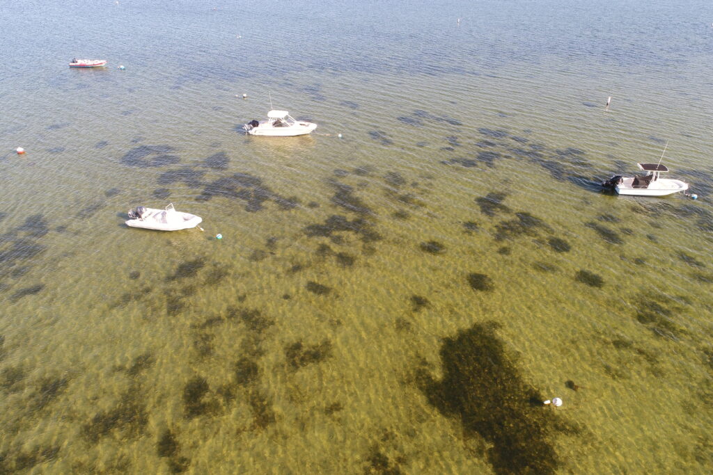
The aerial submerged aquatic vegetation (SAV) imagery from Nantucket Harbor was acquired from a UAV at an approximate altitude of 200 feet.Camera settings were selected by automatic exposure control. Flight lines and frames were designed 80% line overlap and 70% sidelap.
Wind
Imagery was acquired during periods of no or low wind. Atmospherics Imagery was acquired during periods of no or low haze and/or clouds below UAV.
Sensor Operation
Photography was acquired in the vertical mode.
Tidal Stage Imagery was acquired at low tide.
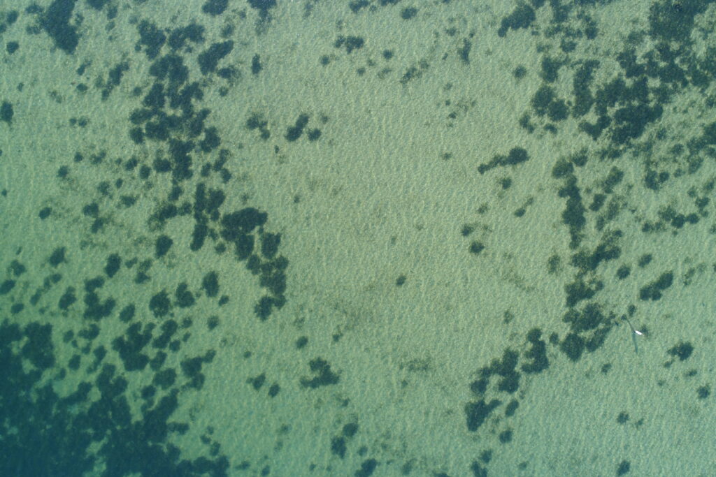
Low elevation aerial imagery is the main source of information used to assess distribution and abundance of SAV in the Nantucket Harbor restoration plot.
Aerial imagery frames were then orthorectified to create orthophoto mosaics. These mosaics will be examined on-screen and outlines drawn to identify all SAV beds visible on the photography, providing a geographic information system (GIS) digital database for analysis of bed areas and locations