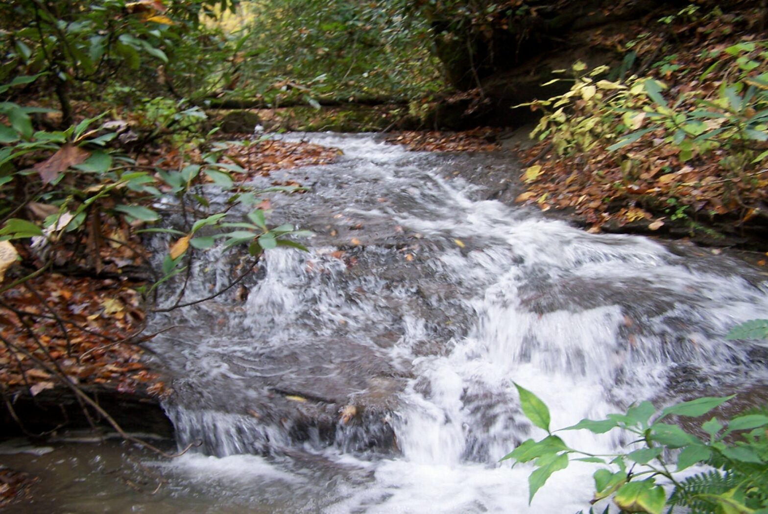
Tennessee Stream Quantification Tool (SQT)

Tennessee Department of Environment and Conservation finalized their Stream Quantification Tool (SQT) November 11, 2018. This tool is proposed to replace the 2004 mitigation guidelines.

Tennessee Department of Environment and Conservation (TDEC). (2018). Tennessee Stream Quantification Tool: Data Collection and Analysis Manual, TN SQT v1.0. Nashville, TN: Tennessee Department of Environment and Conservation. )

Hydrologic Determination – Tennessee

We recently completed multiple hydrologic determinations in the State of Tennessee. These are required by Tennessee law and are conducted by our trained field staff. These determinations use a combination of primary and secondary field indicators for the assessment. The secondary indicators include assess geomorphology, hydrology, and biology related characteristics within the watercourse to identify if it is a wet weather conveyance.

Jurisdictional Determinations

Jurisdictional Determinations are conducted by Waypoint, LLC personnel in support of the requirements of Section 404 of the Clean Water Act (CWA) to identify “waters of the U.S.” as identified by the United States Army Corps of Engineers (USACE). Field surveys for the determination were conducted in accordance with the 1987 USACE Wetlands Delineation Manual (USACE, 1987) and the Final Regional Supplement for the Piedmont and Eastern Mountains Region (USACE, 2012). Waypoint, LLC investigators also evaluate the potential for federal jurisdiction under Section 404 of the CWA over aquatic features in the study area based on USACE revised guidance published December 2, 2008. In addition we conduct determinations in accordance with the new “waters rule” that is now in effect in 26 states.

Kentucky contains seven Level III ecoregions. These ecoregions were defined by similarities in geology, physiography, vegetation, climate, soils, land use, wildlife, and hydrology. The proposed project area is located within the Central Appalachians ecoregion (69) which drains 23,698 square miles. Specifically, the project is within the Level IV ecoregion 69e (Cumberland Mountain Thrust Block) which encompasses 1,083 square miles. The topography in this area is characterized as highly dissected, hilly and mountainous plateau with steep ridges, very narrow ridge tops, narrow valleys, and deep coves. 69e contains elevations ranging from approximately 980’- 4,139’ in Kentucky and contains streams with high gradients, waterfalls, many riffles, few pools, and cobble or boulder substrates (Woods et al., 2002).

Contact us today to discuss your upcoming project needs.

Kentucky Drone Services

Kentucky Drone Services are provided by our FAA certified drone pilots. Our EcoDrones can provide a wide variety of site assessment data including Thermal Imagery, Low Elevation Video Data, Construction Monitoring or Surveillance, Aerial Imagery, Spill Monitoring and Assessment, Legal Exhibits, and a wide variety of other environmental or ecological habitat assessment or other ecological studies using drones.

Aerial Ecological Assessments

Aerial ecological assessments using the newest technology (EcoDrones) available to us we have now integrated aerial imaging into our list of services. Our custom built EcoDrones (UAVs, sUAS) allow us to capture low-elevation high resolution color video or still photos for ecological assessments of watersheds. This allows us to further document ecological resources in a way we have not been previously capable. Environmental assessments will never be the same.

Using drone technology we can provide ecological assessments using low-elevation high-resolution imagery of the ecosystem within a project area or site. Restoring and maintaining the natural environment continues to be an important issue.  BSC specializes in helping clients solve the challenges of growing their businesses while addressing environmental concerns.

We conduct ecological assessments including biological, aquatic, fish, bird, plant, tree, wetland, stream habitat, and other natural resource assessments. BSC provides expertise in both water resources and aquatic systems management, which requires the understanding  of input and output relationships between water systems and their its influence on natural processes. We develop client specific solutions that protect sensitive resources and infrastructure including roads, wetland habitat, rivers, streams, recreational facilities, and infrastructure.

Our client was looking to open a new operation, and hired BSC to perform a preliminary evaluation on an area encompassing 2,000 acres. Our study identified the potential of the proposed mines impacts to archaeological resources, streams and wetlands, prepared a stream restoration plan for the SMCRA permit, a jurisdictional determination or the Corps of Engineers (section 404), and a Section 401 (Water Quality Certification) for the State of Kentucky. The Corps permit was able to be avoided by revising the footprint of the permit while still achieving an economically beneficial project.


Tennessee Hydrologic Determination

Tennessee Hydrologic Determination (HDT) and Jurisdictional Determinations (JD) are conducted by our trained field staff and follow the Tennessee Department of Environment and Conservation Division of Water Pollution Control Guidance For Making Hydrologic Determinations, as well as the U.S. Army Corps of Engineers Guidance. This is required by law within the state of Tennessee under the following statute.

The following is taken from the TN statute:

Public Chapter No. 464 PUBLIC ACTS, 2009 1
STATE OF TENNESSEE
PUBLIC CHAPTER NO. 464
SENATE BILL NO. 632
Tennessee Code Annotated, Section 69-3-103, is amended by
adding the following language as new, appropriately designated subsections:
( ) “Wet weather conveyance” means, notwithstanding any other law or
rule to the contrary, man-made or natural watercourses, including natural
watercourses that have been modified by channelization:
(1) That flow only in direct response to precipitation runoff in their
immediate locality;
(2) Whose channels are at all times above the groundwater table;
(3) That are not suitable for drinking water supplies; and
(4) In which hydrological and biological analyses indicate that,
under normal weather conditions, due to naturally occurring ephemeral or
low flow there is not sufficient water to support fish, or multiple
populations of obligate lotic aquatic organisms whose life cycle includes
an aquatic phase of at least two months;

( ) “Obligate lotic aquatic organisms” means organisms that require
flowing water for all or almost all of the aquatic phase of their life cycles;

( ) “Stream” means a surface water that is not a wet weather conveyance;

( ) “Watercourse” means a man-made or natural hydrologic feature with a
defined linear channel which discretely conveys flowing water, as opposed to
sheet-flow;

Contact us to request a quote for your hydrologic determination today.

Kentucky Cultural Resource Management

Kentucky Cultural Resource Management Services include historic structures survey related to Section 106 compliance. This historic structures survey was conducted to identify any potential cultural historic resources that might potentially be eligible for listing in the National Register of Historic Places.The below resource was identified and evaluated during the project.

Kentucky Cultural Resource Management

Kentucky Cultural Resource Management

Macroinvertebrate Collection and Analysis | Aquatic Assessments

Macroinvertebrate Collection and Analysis | Aquatic Assessments – The following steps are taken from the KDOW SOP manual, and describe the methodology for collecting a multi-habitat sample in a wadeable stream:

“1. The investigator will sample a variety of non-riffle habitats with the aid of an 800 x
900 μm mesh triangular or D-frame dip net.
2. Each habitat will be sampled in at least three (3) replicates.
3. After all habitats have been sampled, the contents of the mesh wash bucket will be
composited into a glass, sampling jar with 95% ETOH.
4. The wash bucket will be picked clean of any remaining macroinvertebrates.
5. The sample jar will be labeled with appropriate information (Section 8.D.) and will be
ready for transport to the lab for analysis.
6. Each of these following habitats will be sampled:

A. Undercut Banks/Root Mats
1. These are sampled by placing a large root wad into a triangular or D-frame dip
net and shaking vigorously.
2. The contents are removed from the dip net and placed into a mesh wash bucket.
3. If undercut banks are present in both run and pool areas, each is sampled
separately with three (3) replicates.

B. Marginal Emergent Vegetation (exclusive of water willow, Justicia Americana, beds)
1. This habitat is sampled by thrusting (i.e., “jabbing”) the dip net into the
vegetation for approximately 1m, and then sweeping through the area to collect
dislodged organisms.
2. Material is then rinsed in the wash bucket and any sticks, leaves and vegetation
are thoroughly washed and inspected before discarding.

C. Bedrock or Slab-Rock Habitats
1. These habitats are sampled by placing the edge of the dip net flush on the
substrate, and disturbing approximately 0.1 m2 of area to dislodge attached
organisms.
2. Material is emptied into a wash bucket, rinsed, inspected for organisms, and
discarded.

D. Justicia americana (water willow) Beds
1. These are sampled by working the net through a 1m section in a jabbing
motion.
2. The material is then emptied into a wash bucket and any J. americana stems
are thoroughly washed, inspected and discarded.

E. Leaf Packs
1. Leaf packs are preferably collected from “conditioned” (i.e., not new-fall
material) material when possible.
2. Samples are taken from a diversity of habitats (i.e., riffles, runs and pools) and
placed into the wash bucket.
3. The material is thoroughly rinsed to dislodge organisms, inspected and
discarded.

F. Silt, Sand, and Fine Gravel
1. A U.S. No. 10 sieve is used to sort larger invertebrates (e.g., mussels,
burrowing mayflies, dragonfly larvae) from silt, sand and fine gravel by scooping
the substrate to an approximate depth of 5cm.
2. A variety of collection sites are sampled in order to obtain three (3) replicates
in each substrate type where available (silt, sand and fine gravel).

G. Aufwuchs Sample
1. Small invertebrates associated with this habitat are obtained by washing a small
amount of rocks, sticks, leaves, filamentous algae and moss into a medium-sizedbucket half filled with water.
2. The material is then elutriated and sieved with the nitex sampler/mesh.

H. Rock Picking
1. Benthic macroinvertebrates are picked from 15 rocks (large cobble/small
boulders; 5 each from riffle, run and pool).
2. Selected rocks are washed in a bucket half filled with water and then carefully
inspected to remove organisms.

I. Wood Sample
1. Pieces of submerged wood, ranging from roughly 3 to 6 meters (10 to 20 linear
feet) in length and ranging from 5–15 cm (2–6 inches) in diameter, are
individually rinsed into the wash bucket.
2. Pieces of wood are inspected for burrowers and crevice dwellers and are
removed with fine-tipped forceps.
3. Large diameter, well-aged logs should be inspected and handpicked with finetipped
forceps.”

After the samples have been processed our aquatic entomologists identify each organism and provide an analysis of the results.

To read more about our macroinvertebrate samples see here. If you would like to discuss your project or have questions contact us or request a quote.

NPDES BMP and SPCC Plans

NPDES Permit BMP and SPCC Plans

The KPDES general coal permit states, “The permittee shall develop and implement a BMPP consistent with 401 KAR 5:065, Section 2(4) pursuant to KRS 224.70-110, which prevents or minimizes the potential for the release of “BMP pollutants” from ancillary activities through site runoff; spillage or leaks, sludge or waste disposal; or drainage from raw material storage. These conditions apply to all permittees who use, manufacture, store, handle, or discharge any pollutant listed as: (1) toxic under Section 307(a)(1) of the Clean Water Act; (2) oil, as defined in Section 311(a)(1) of the Act; (3) any pollutant listed as hazardous under Section 311 of the Act; or (4) is defined as a pollutant pursuant to KRS 224. 1-010(35) and who have operations which could result in (1) the release of a hazardous substance, pollutant, or contaminant, or (2) an environmental emergency, as defined in KRS 224.1-400, as amended, or any regulation promulgated pursuant thereto (hereinafter, the “BMP pollutants”). These operations include material storage areas; Plant site runoff; in-Plant transfer, process and material handling areas; loading and unloading operations, and sludge and waste disposal areas. The permittee shall implement the BMP Plan upon of the commencement of regulated activity. Modifications to the Plan as a result of ineffectiveness or Plan changes to the facility shall be implemented as soon as possible. Within 90 days of the effective date of the permit, the permittee shall evaluate the current BMP Plan and make any necessary modifications to insure its continued effectiveness. Contact us today if you would like one of these plans prepared for your site.

To see a list of all of our services go here. Contact us or request a quote today.

Wetland Delineation

Wetland Delineation

This week we performed a wetland delineation in Whitley County, Kentucky to fulfill requirements under Section 404 of the Clean Water Act.

The wetland delineation in Whitley County, Kentucky was conducted by BSC personnel in support of the requirements of Section 404 of the Clean Water Act (CWA). Field surveys for the following determination were conducted in accordance with the 1987 United States Army Corps of Engineers (USACE) Wetlands Delineation Manual (USACE, 1987) and the Final Regional Supplement for the Piedmont and Eastern Mountains Region (USACE, 2012).

According to USACE “This Regional Supplement is part of a nationwide effort to address regional wetland characteristics and improve the accuracy and efficiency of wetland delineation procedures. Regional differences in climate, geology, soils,hydrology, plant and animal communities, and other factors are important to the identification and functioning of wetlands. The regional supplement was finalized in 2012 and covers all or portions of the District of Columbia and 20 states: Alabama, Arkansas, Delaware, Georgia, Illinois, Indiana, Kansas, Kentucky, Maryland, Missouri, North Carolina, New Jersey, New York, Ohio, Oklahoma, Pennsylvania, South Carolina, Tennessee, Virginia, and West Virginia” (USACE 2012).

The determination within our report is subject to review and approval by the Nashville District of the USACE. As requested by the Nashville District USACE only the area within the vicinity of the proposed work was evaluated for the wetland delineation. As indicated in our report there was a small area that appeared to meet the soils, hydrology, and vegetation characteristics for wetlands as defined by USACE. See more of our services here.

Contact us today or request a quote.

References:

United States Army Corps of Engineers. 1987. Corps of Engineers Wetlands Delineation Manual. Technical Report Y-87-1, Department of the Army, Waterways Experiment Station.

United States Army Corps of Engineers. 2012. Final Regional Supplement to the Corps of Engineers Wetland Delineation Manual: Eastern Mountains and Piedmont Region, ed. J.S. Wakeley, R.W. Lichvar, and C.V. Noble. ERDC/EL TR 10-XX. Vicksburg, MS: U.S. Army Engineer Research and Development Center.


Wetland Delineation Kentucky
Wetland Delineation Area (in Background)