Tennessee Department of Environment and Conservation finalized their Stream Quantification Tool (SQT) November 11, 2018. This tool is proposed to replace the 2004 mitigation guidelines. Tennessee Department of Environment and Conservation (TDEC). (2018). Tennessee Stream Quantification Tool: Data Collection and Analysis Manual, TN SQT v1.0. Nashville, TN: Tennessee Department of Environment and Conservation. )
Category Archives: Uncategorized
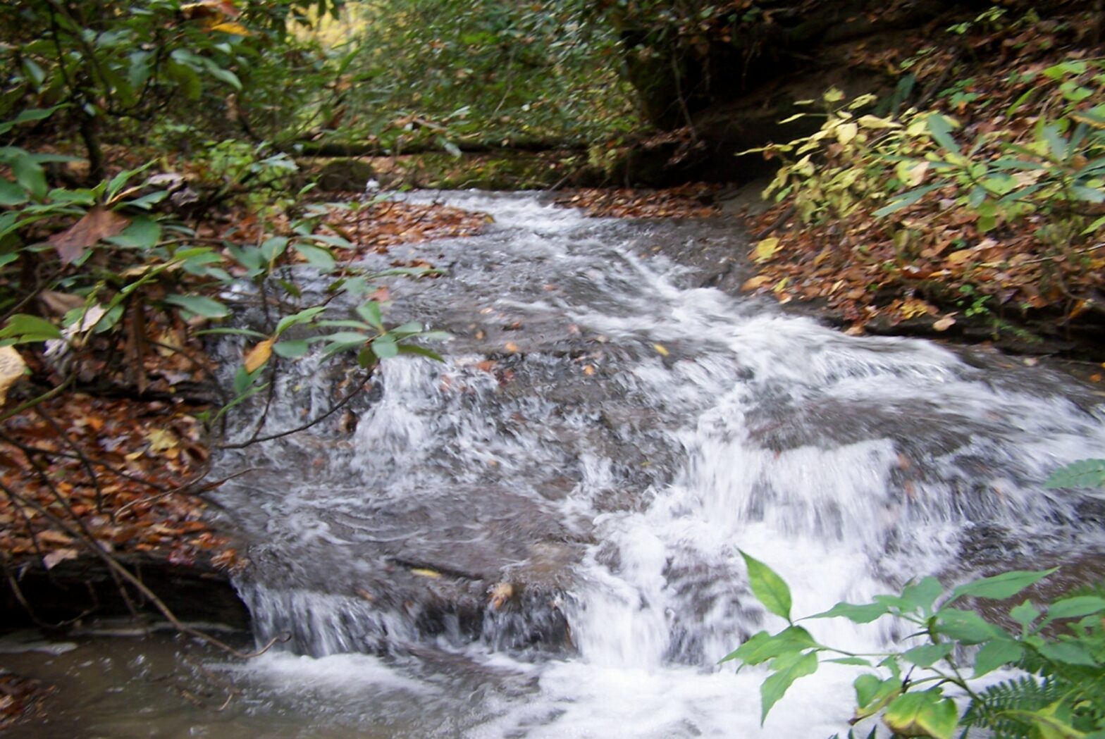
Hydrologic Determination – Tennessee
We recently completed multiple hydrologic determinations in the State of Tennessee. These are required by Tennessee law and are conducted by our trained field staff. These determinations use a combination of primary and secondary field indicators for the assessment. The secondary indicators include assess geomorphology, hydrology, and biology related characteristics within the watercourse to identify …
Jurisdictional Determinations
Jurisdictional Determinations are conducted by Waypoint, LLC personnel in support of the requirements of Section 404 of the Clean Water Act (CWA) to identify “waters of the U.S.” as identified by the United States Army Corps of Engineers (USACE). Field surveys for the determination were conducted in accordance with the 1987 USACE Wetlands Delineation Manual …
Kentucky Drone Services
Kentucky Drone Services are provided by our FAA certified drone pilots. Our EcoDrones can provide a wide variety of site assessment data including Thermal Imagery, Low Elevation Video Data, Construction Monitoring or Surveillance, Aerial Imagery, Spill Monitoring and Assessment, Legal Exhibits, and a wide variety of other environmental or ecological habitat assessment or other ecological …
Aerial Ecological Assessments
Aerial ecological assessments using the newest technology (EcoDrones) available to us we have now integrated aerial imaging into our list of services. Our custom built EcoDrones (UAVs, sUAS) allow us to capture low-elevation high resolution color video or still photos for ecological assessments of watersheds. This allows us to further document ecological resources in a …
Tennessee Hydrologic Determination
Tennessee Hydrologic Determination (HDT) and Jurisdictional Determinations (JD) are conducted by our trained field staff and follow the Tennessee Department of Environment and Conservation Division of Water Pollution Control Guidance For Making Hydrologic Determinations, as well as the U.S. Army Corps of Engineers Guidance. This is required by law within the state of Tennessee under …
Kentucky Cultural Resource Management
Kentucky Cultural Resource Management Services include historic structures survey related to Section 106 compliance. This historic structures survey was conducted to identify any potential cultural historic resources that might potentially be eligible for listing in the National Register of Historic Places.The below resource was identified and evaluated during the project.
Macroinvertebrate Collection and Analysis | Aquatic Assessments
Macroinvertebrate Collection and Analysis | Aquatic Assessments – The following steps are taken from the KDOW SOP manual, and describe the methodology for collecting a multi-habitat sample in a wadeable stream: “1. The investigator will sample a variety of non-riffle habitats with the aid of an 800 x 900 μm mesh triangular or D-frame dip …
Continue reading “Macroinvertebrate Collection and Analysis | Aquatic Assessments”
NPDES BMP and SPCC Plans
NPDES Permit BMP and SPCC Plans The KPDES general coal permit states, “The permittee shall develop and implement a BMPP consistent with 401 KAR 5:065, Section 2(4) pursuant to KRS 224.70-110, which prevents or minimizes the potential for the release of “BMP pollutants” from ancillary activities through site runoff; spillage or leaks, sludge or waste …
Wetland Delineation
Wetland Delineation This week we performed a wetland delineation in Whitley County, Kentucky to fulfill requirements under Section 404 of the Clean Water Act. The wetland delineation in Whitley County, Kentucky was conducted by BSC personnel in support of the requirements of Section 404 of the Clean Water Act (CWA). Field surveys for the following …