Aerial ecological assessments using the newest technology (EcoDrones) available to us we have now integrated aerial imaging into our list of services. Our custom built EcoDrones (UAVs, sUAS) allow us to capture low-elevation high resolution color video or still photos for ecological assessments of watersheds. This allows us to further document ecological resources in a …
Author Archives: waypoint19
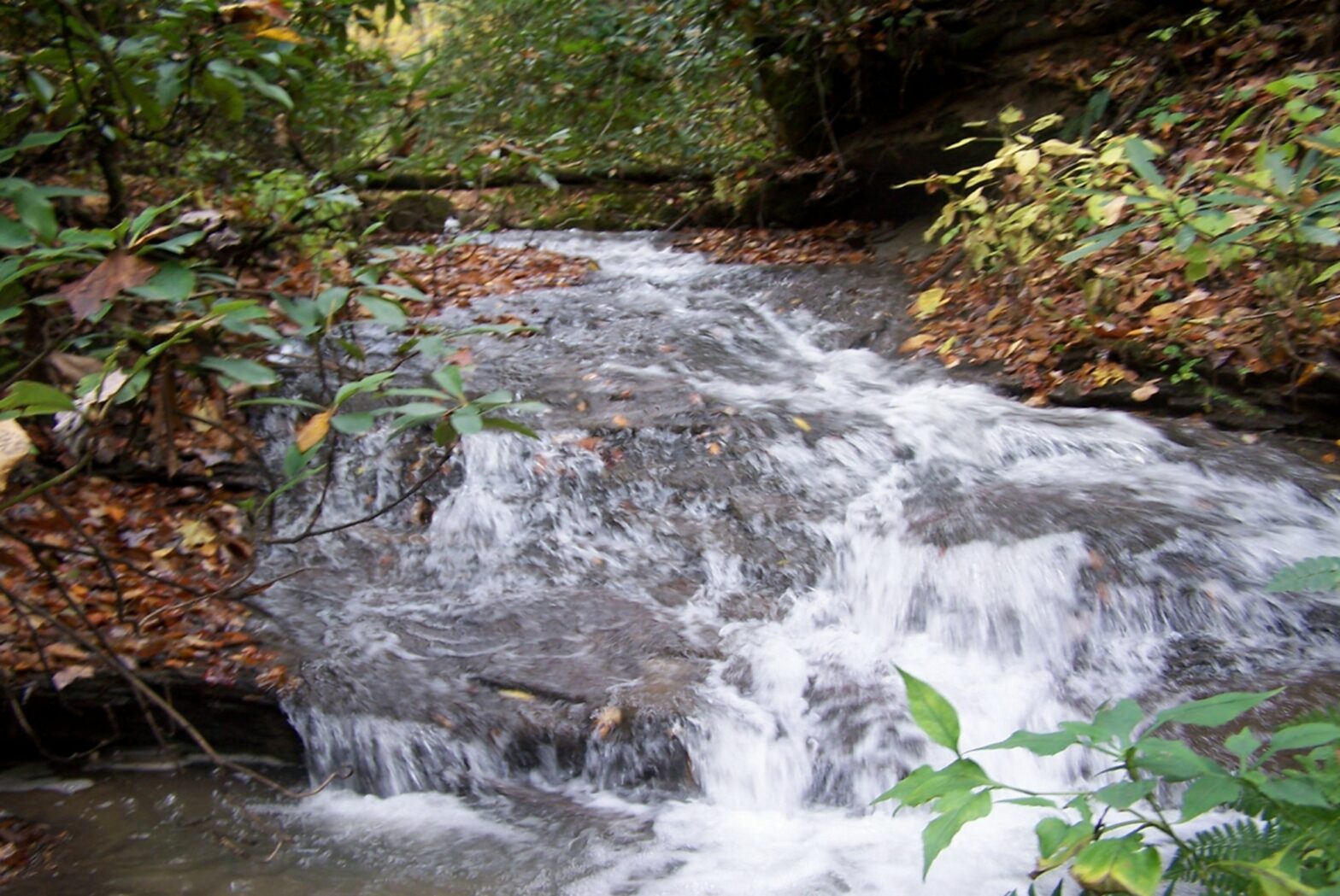
Tennessee Hydrologic Determination
Tennessee Hydrologic Determination (HDT) and Jurisdictional Determinations (JD) are conducted by our trained field staff and follow the Tennessee Department of Environment and Conservation Division of Water Pollution Control Guidance For Making Hydrologic Determinations, as well as the U.S. Army Corps of Engineers Guidance. This is required by law within the state of Tennessee under …
Kentucky Cultural Resource Management
Kentucky Cultural Resource Management Services include historic structures survey related to Section 106 compliance. This historic structures survey was conducted to identify any potential cultural historic resources that might potentially be eligible for listing in the National Register of Historic Places.The below resource was identified and evaluated during the project.
Macroinvertebrate Collection and Analysis | Aquatic Assessments
Macroinvertebrate Collection and Analysis | Aquatic Assessments – The following steps are taken from the KDOW SOP manual, and describe the methodology for collecting a multi-habitat sample in a wadeable stream: “1. The investigator will sample a variety of non-riffle habitats with the aid of an 800 x 900 μm mesh triangular or D-frame dip …
Continue reading “Macroinvertebrate Collection and Analysis | Aquatic Assessments”
NPDES BMP and SPCC Plans
NPDES Permit BMP and SPCC Plans The KPDES general coal permit states, “The permittee shall develop and implement a BMPP consistent with 401 KAR 5:065, Section 2(4) pursuant to KRS 224.70-110, which prevents or minimizes the potential for the release of “BMP pollutants” from ancillary activities through site runoff; spillage or leaks, sludge or waste …
Wetland Delineation
Wetland Delineation This week we performed a wetland delineation in Whitley County, Kentucky to fulfill requirements under Section 404 of the Clean Water Act. The wetland delineation in Whitley County, Kentucky was conducted by BSC personnel in support of the requirements of Section 404 of the Clean Water Act (CWA). Field surveys for the following …
Phase I Archaeological Survey – Estill County, Kentucky
This Phase I Archaeological survey project purpose was to identify any archaeological resources within the project area and assess their potential eligibility for nomination to the National Register of Historic Places (NRHP). As a result of the investigation, one historic structure was documented. Contact us or request a quote today. See additional services here.
Section 7 ESA Consultation
Section 7 ESA consultation is required for projects to identify whether any proposed or listed species are located within a given area of a proposed action. The U.S. Fish and Wildlife Service (FWS) requires project review information to meet the requirements of Section 7(c) of the Endangered Species Act (EA) of 1973, as amended (16 …
Phase I Archaeology – Clay County, Kentucky
Phase I Archaeology This Phase I Archaeology project purpose was to identify any archaeological resources within the project area and assess their potential eligibility for nomination to the National Register of Historic Places (NRHP). As a result of the investigation, one historic/modern cemetery was documented. It was located atop of a toeslope near about 600 …
Continue reading “Phase I Archaeology – Clay County, Kentucky”
Phase I Archaeological Survey – Kentucky
During this 300 acre Phase I investigation we shovel tested and performed pedestrian reconnaissance looking for historic and prehistoric archaeological sites, and if found, evaluate whether or not the cultural material may be eligible for listing in the National Register of Historic Places. No sites were identified during this investigation.