
Drone Assisted Projects and Services
Eelgrass Restoration Monitoring
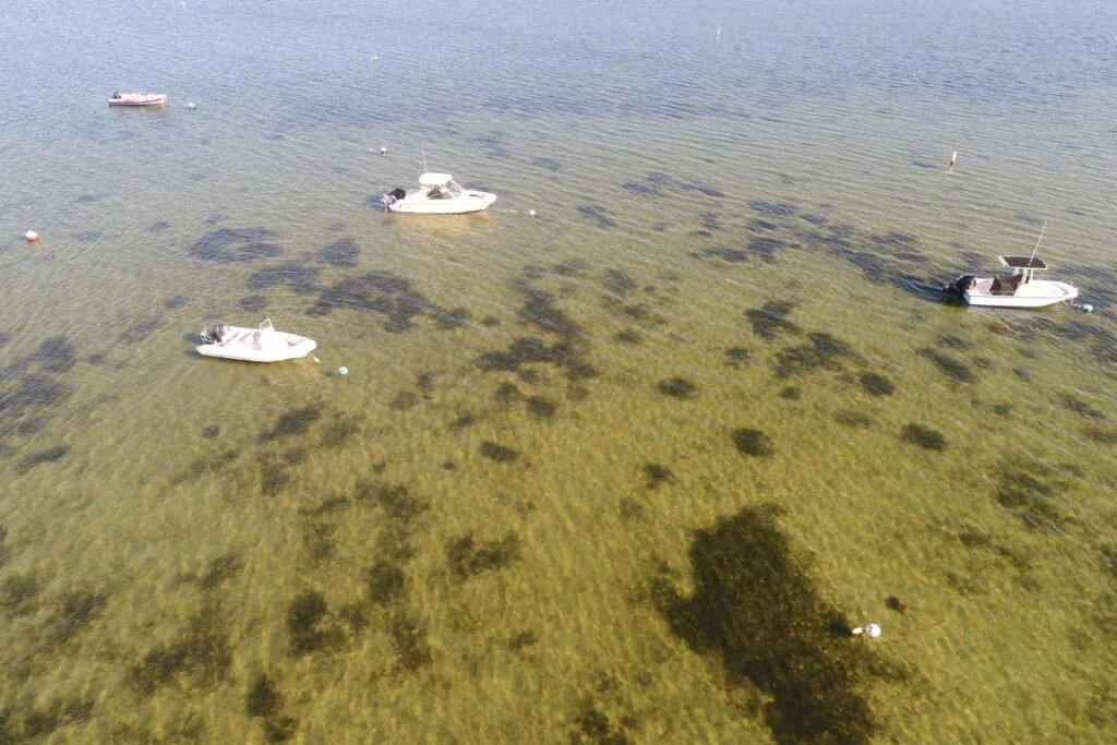
Eelgrass (Zostera marina) Restoration Monitoring with UAV
Eelgrass beds provide food and habitat for blue crabs, young striped bass, bay scallops, waterfowl, and many other aquatic species. The beds also filter pollutants, reduce shoreline erosion, trap sediments, and add oxygen to the water.
2021 Data Acquisition Details
The aerial submerged aquatic vegetation (SAV) imagery from Nantucket Harbor was acquired from a UAV at an approximate altitude of 200 feet.Camera settings were selected by automatic exposure control. Flight lines and frames were designed 80% line overlap and 70% sidelap.
In addition to the projects showcased above, Waypoints FAA Certified drone pilots can provide the following services
Aerial Ecological Assessments
Stream & Wetland Mitigation & Monitoring
Drone Construction Monitoring